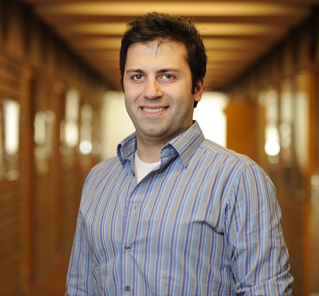
“The objective of my research is to develop a fully automated system for a highly accurate classification of remote sensing images,” says Pedram Ghamisi, Ph.D. student in Electrical and Computer Engineering.
Ghamisi received the award for the Best Academic Researcher at the K.N.T. University of Technology in Teheran in Iran where he was chosen out of a pool of 200 researchers. He works on images and signals captured by satellites. He focuses on the classification of remote sensing. “Classification remote sensing images are useful in many situations. The method can be used to monitor anything at the surface of the earth, such as crops, modern agriculture, forestry, urban development, mapping and tracking, risk management etc.”
“Thanks to the recent progress in remote sensors technology, satellite data plays a key role in our daily life and can be used in different applications. Undoubtedly the wide usage of the satellite data in our day to day life was the most important motivator which attracted me to the aforementioned topic.”
“In my opinion the classification of surface features in satellite imagery is one of the most important applications of remote sensing. It is often difficult and time-consuming to develop classifiers manually. As a result many researchers have turned to techniques from the fields of statistics and machine learning to generate classifiers automatically.”
Ghamisi came to Iceland because of Jón Atli Benediktsson, professor in Electric- and Computer Engineering. “He is the best person in this field in the world which is the reason why I chose to study at the University of Iceland.”
Supervisor: Jón Atli Benediktsson Professor at the Faculty of Electrical and Computer Engineering.


