“One of the potential scenarios suggested by past experience, and which seismologists have argued is likely in the near future, is an earthquake in the eastern part of the Reykjanes peninsula, possibly of similar magnitude size as the two South Iceland earthquakes in June 2000 and the Ölfus earthquake in May 2008. An event like this could significantly impact the Reykjavík area, although the distance from expected epicentre and fault rupture to the outskirts of the capital would be much greater than the distance to the built environment in South Iceland when earthquakes strike there. Findings from the SERICE project help us to assess seismic risk in the Reykjavík area and other areas of Iceland which could be affected by larger earthquakes,” says Bjarni Bessason, professor of civil and environmental engineering. Together with his colleagues, Bjarni has been working on an extensive research project aimed at developing new tools and models for assessing seismic risk in Iceland.
Icelanders are all too familiar with the potential impact of major earthquakes. The three earthquakes in South Iceland which occurred in 2000 and 2008 caused serious damage to various buildings and infrastructure, as did the earthquakes connected to the volcanic activity in Grindavík in November 2023. In South Iceland, intense ground shaking caused the damage, while in Grindavík it was primarily the openings and differential movements of faults beneath buildings and infrastructure that led to damage. There is a lot to be gained if we can reduce the impact that seismic activity has on infrastructure, which is one of the aims of the project led by Bjarni and his colleagues, professors Rajesh Ruphakety and Sigurður Erlingsson.
Project inspired by the South Iceland earthquakes
The project, entitled Seismic Risk in Iceland (SERICE), began before the recent seismic activity on the Reykjanes peninsula and was inspired by the three South Iceland earthquakes in 2000 and 2008. “The South Iceland Seismic Zone is an area known for seismic activity and is monitored with various measuring equipment. A range of important data was recorded by the Icelandic Meteorological Office during these events. Seismic acceleration time series data was also recorded by the University of Iceland Earthquake Engineering Research Centre,” says Bjarni, explaining that the time series data describes either the ground motion or the seismic responses of selected buildings and bridges during the earthquakes.

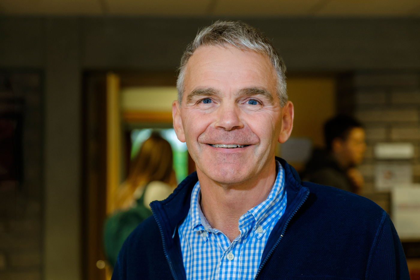
Sigurður Erlingsson.
Sigurður adds that all buildings and other structures are insured against earthquake damage with National Catastrophe Insurance. “Following the events of 2000 and again after the Ölfus earthquake in 2008, the damage and repair costs were assessed for all insured structures damaged by the earthquakes in order to determine insurance payouts. All this data inspired this research project and makes it possible for us to learn from these events and prepare for similar earthquakes in the future,” says Sigurður.
Seismic risk describes the likelihood of damage, accidents and harm
But how can we assess seismic risk? According to Rajesh, in order to do this, we need knowledge and models of three main factors. “First of all, we need to know about the seismic hazard and localised impacts of seismic activity. Secondly, we need information about all the buildings and infrastructure in the area at risk of undergoing stress from earthquakes. And thirdly, we need to know about the vulnerability of these structures, i.e. how vulnerable they are to damage from ground motion. In the broadest sense, seismic risk describes the likelihood and scope of potential damage to buildings and infrastructure, accidents and deaths, and economic, social and cultural harm,” he adds.
Among other funding sources, the project was awarded an grant of excellence from the Icelandic Research Fund, which is one of the largest grants available here in Iceland. According to Bjarni, this funding has made a huge difference for the project. “The grant allowed us to make good progress and has opened various doors. The project has recruited a dynamic team of researchers working on various sub-projects, all directly or indirectly related to seismic risk in Iceland. Research had begun before we received the grant, however, and will continue despite the fact that the funding period formally ends this year,” he explains.

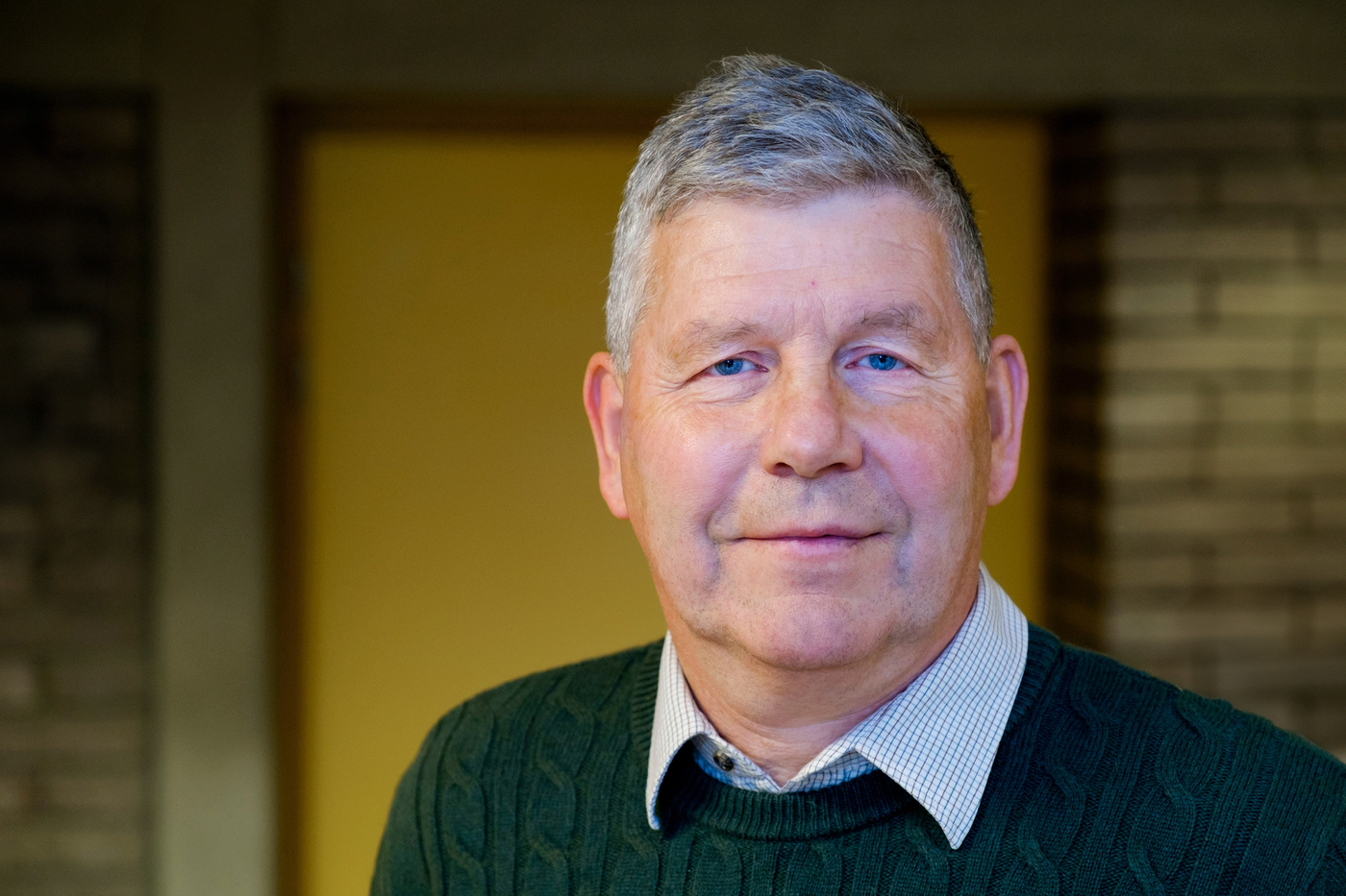
Bjarni Bessason.
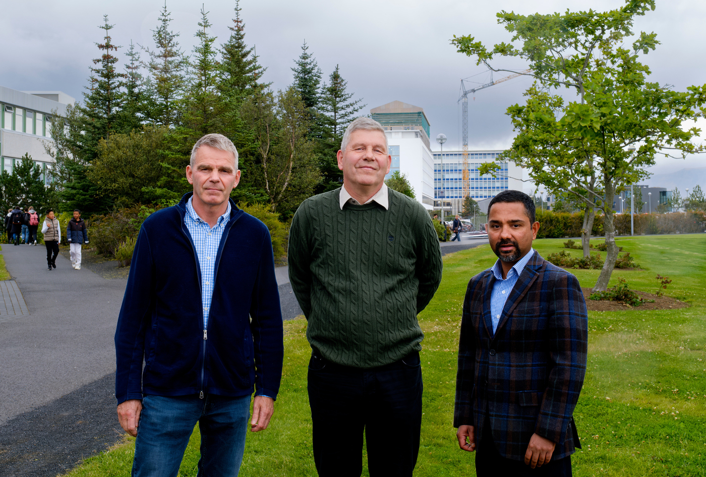
As well as Bjarni, Rajesh and Sigurður, the team also includes Elín Ásta Ólafsdóttir, lecturer at the UI Faculty of Civil and Environmental Engineering, Ching-Yi Tsai, research specialist, and the PhD students Mojatab Moosapoor, Sayed Javad Fattahi and Victor Moises Hernande Aguirre. Countless Master's students in civil and environmental engineering have also completed final projects within the framework of the project. “We have also collaborated with other Icelandic and international parties outside UI, who have supported the project in one way or another,” adds Rajesh.
A very extensive project
According to Sigurður, the scope of the project has been extensive, so it has been divided into three main work packages with each PhD student working on one package. “The first work package is focused on research on soil and site-specific earthquake effects. We use field measurements to assess the shear wave velocity and stiffness of natural soil and sediments, as well as to map sediment layers between lava flows , which are crucial design data in geotechnical earthquake engineering. We also measure the properties of soil samples in the lab and use software to calculate the site- amplification caused by loose sediment layers,” explains Sigurður.
The second work package is to use geotechnical information and strong ground motion data to calibrate numerical models to simulate ground motion in earthquakes for Icelandic conditions. “The model can be used to simulate acceleration time series data for a specific location and a specific staged earthquake. The model is calibrated using recorded time series data from the South Iceland earthquakes in 2000 and 2008; we have also used data from the ongoing activity on the Reykjanes peninsula,” adds Sigurður.

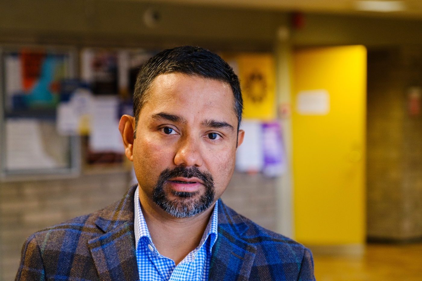
Rajesh Ruphakety.
The third and final work package is about vulnerability and fragility modelling, which can be used to predict earthquake damage. “We are developing statistical models using regression analysis and loss data from the South Iceland earthquakes in 2000 and 2008. We are also using analytical models to simulate responses and damage to buildings caused by specific seismic loads. These models are calibrated using the results of experiments and real-world damage recorded in the South Iceland earthquakes,” says Rajesh, explaining that the main focus is on damage to buildings and bridges.
Events on the Reykjanes peninsula highlight the importance of emergency preparedness
The project began in 2021 and will formally end at the end of this year. “The project has already yielded many outputs, including specialised methodology and software to determine the shear wave velocity of a soil (a key figure in assessing the site-specific seismic loads) and map complex soil profiles, calibrated models for simulating ground motion that take into account the geological conditions here in Iceland, and vulnerability models and fragility functions for Icelandic buildings,” says Bjarni, adding that the team’s findings have been published in open databases, peer-reviewed journal articles, conference articles and Master's theses. Three doctoral theses are also in progress. Furthermore, findings will be made accessible on the project website, serice.hi.is, which is currently under development. Finally, a one-day public seminar about the SERICE project will be held on 9 September 2024 in collaboration with the Association of Chartered Engineers in Iceland (see further details on vfi.is).
The scientists argue that events on the Reykjanes peninsula over the last three years, during which thousands of earthquakes have occurred, some very powerful, highlight how important is it that we in Iceland are prepared for the same kinds of natural disasters as we have seen in our geological history. “Iceland is well known as a country with high levels of seismic and volcanic activity. It is clear that research and knowledge in the areas explored in the SERICE project are vital for Icelandic society, but our work will also benefit communities in other countries living with seismic hazards. Our findings are relevant both in Iceland and internationally,” concludes Bjarni.


