Mapping hazard perception: Experiments with Paper2GIS in a field course in Iceland

Askja
Room 131
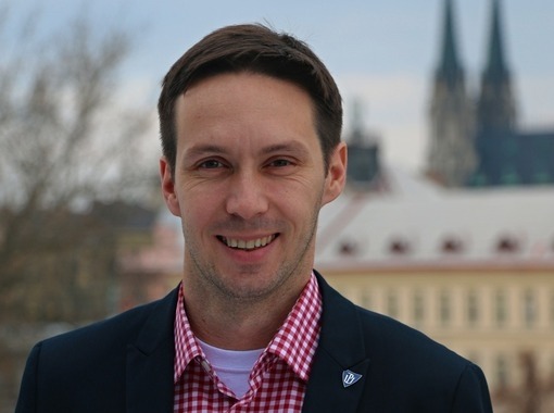
Dr. Jiří Pánek, Associate Professor, Palacky University Olomouc, Czech Republic gives the lecture Mapping hazard perception: Experiments with Paper2GIS in a field course in Iceland
Abstract
„Geospatial technologies have revolutionised hazard research, providing powerful tools to analyse and visualise geospatial data for decision-making purposes. This presentation will focus on Paper2GIS, an innovative tool for participatory field data collection. The tool was tested during an international Masters-level field course in Seyðisfjörður, East Iceland, held with support from the Aurora university network. Paper2GIS proved effective for facilitating hazard research with a participatory component, as well as for simplification of data collection during geography field courses. It is useful for researchers, practitioners, and educators wanting to incorporate low-tech geospatial technologies into their work.“
Bio: Dr. Jiří Pánek is Associate Professor in regional and social development at the Department of Development and Environmental Studies at Palacky University Olomouc, Czech Republic with background in geography, GIScience and Development Studies. His main research lies in using GIS in community participation. He is former Fulbright-Masaryk scholar at Centre for Geospatial Analyses at North Carolina State University (2021-2022), and Ruth Crawford Mitchell Fellow at Urban Studies program of University of Pittsburgh (2017).
Dr. Jiří Pánek


