

Travelling back in time over Iceland with a new online web map of historical images
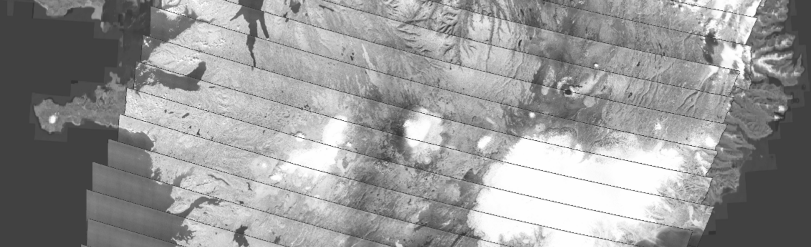
It is now possible to travel back in time and see the urbanization and landscape changes in Iceland using a new web map of historical aerial imagery (Loftmyndasjá). The web map will be launched at a special ceremony in Askja, the University of Iceland's natural science building, on Thursday 31 August. Loftmyndasjá is a new, open-access web map of historical aerial imagery created by Landmælingar Íslands in collaboration with the University’s Institute of Earth Sciences and Center for Remote Sensing. It contains film images of Iceland from the loftmyndasafn, collected from an aeroplane, which are currently being scanned and converted to map format. Users can use the Loftmyndasjá as an online, space–time travelling machine through Iceland during the last ~80 years making landscape dynamics and urbanization visible.
The online web map of historical images can be used in teaching, research, historical investigations, and for general curiosity. Access is open to all and free of charge.
The online web map, Loftmyndasjá, will be launched formally in Askja, room N-132 on Thursday 31 August between 4 and 6 p.m. The event will include lectures on the history of aerial mapping in Iceland, demonstrations on usage of the archive for educational purposes, and perspectives for research in earth sciences. The event is open to all.
Reception
- Introduction - Gunnar Haukur Kristinsson, Director, National Land Survey Iceland
- History of aerial imagery in Iceland - J. Belart & S. Gunnarson, National Land Survey Iceland
- Loftmyndasjá: Tool for everyone to understand environmental and societal change in Iceland - Gro B. M. M. Pedersen, University of Iceland's Institute of Earth Sciences
- Visualizing historical landscapes from the aerial photography archive - Kieran Baxter, UI Institute of Regional Research Centres
- Snacks and light refreshments and interactive demos.
. The web map will be launched at a special ceremony in Askja, the University of Iceland's natural science building, on Thursday 31 August.")