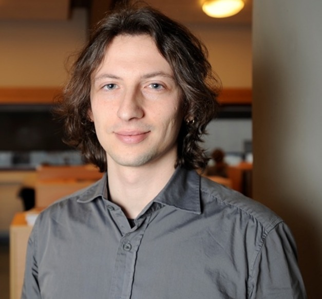
“My research focuses on the analysis of remote sensing images using methods and approaches developed in several fields such as pattern recognition, machine learning, mathematical morphology, image and signal processing,” says Nicola Falco, Doctoral student at the Faculty of Electrical and Computer Engineering.
Remote sensing images are images acquired by airborne sensors, or mounted on satellites, and the study focuses on the development of new methodologies that aim to exploit as much as possible the information contained in satellite images. The aim is to increase the accuracy of the analyses. “Such analyses have the potential of becoming powerful tools in different applications, such as forestry and monitoring glaciers, and damage assessment after an earthquake or volcanic eruptions, “ says Falco.
Remote sensing analysis is a field where the challenges are constantly increasing since the sensor technology is also evolving, providing satellite images with increasing spatial and spectral resolutions. Nicola Falco is in his third year of research and asked about the results he said: “Different results have already been achieved proposing different methodologies for spatial and spectral analysis of hyperspectral images, and in multi-temporal analysis.” Falco says that the scientific value of the research important as these characteristics make this kind of images an important resource for several applications related to the Earth’s observation and environmental monitoring, such as land-cover classification and multi-temporal analysis. Progress in this field is without a doubt vital in times of climate change.
Supervisor: Jón Atli Benediktsson, Professor at the Faculty of Electrical and Computer Engineering and Pro-Rector of Academic Affairs


