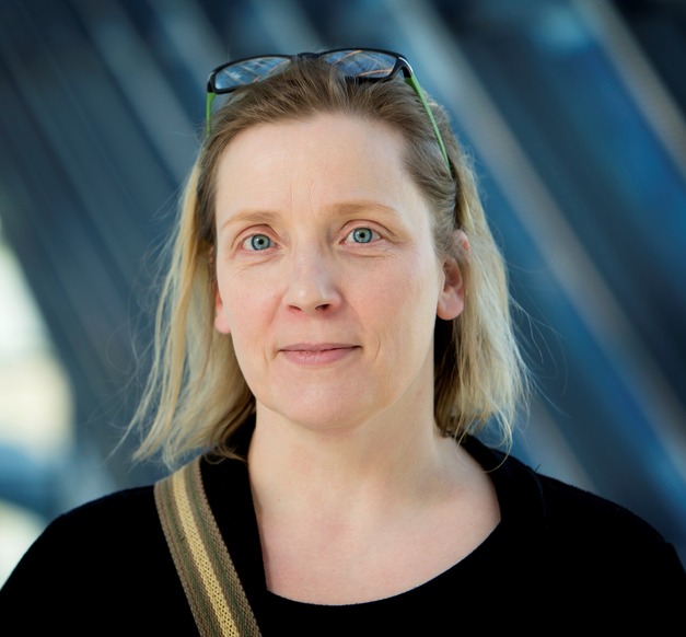
Ingibjörg Jónsdóttir, Associate Professor at the Faculty of Earth Sciences
“My research concerns real time analysis of remote sensing data for earth sciences,” says Ingibjörg Jónsdóttir, Associate Professor of geography, who has attracted attention in the last few years for her analysis of the spread of the lava in the Holuhraun eruption, and for her interpretation of the movement of sea ice. Ingibjörg’s field is remote sensing where digital images, usually taken from great heights by aeroplanes or satellites are analysed to provide varied data. Remote sensing research is very important, not least in the current context where various changes in the environment require urgent attention.
“The background to my research is partially in sea ice research,” says Ingibjörg about the origins of her research. “Analysing satellite images in real time quickly and efficiently is paramount in that field; in an environment that is constantly shifting due to the influence of wind, sea currents and the inner dynamics and qualities of the ice.”
Ingibjörg Jónsdóttir
“Remote sensing is an efficient way to get current overviews of large areas, for example through measuring radiation not sensed by the human eye.”

Ingibjörg says that regarding sea ice the main issue is providing seafarers and researchers in the field with accurate information to ensure security. “The coordination of real time monitoring and research is a powerful way to better understand natural processes.”
Ingibjörg finds her subject interesting because it can be useful in many of the fields of earth sciences, not least concerning research concerning natural hazard and environmental change. “Remote sensing is thus an efficient way to get current overviews of large areas, for example through measuring radiation not sensed by the human eye.”
These days the volcanology and natural hazard group of the University of Iceland is working on the further graduation of a variety of remote sensing data to enable faster evaluation of the nature and extent of natural disasters, possible consequences and reactions. “The results are promising, especially concerning volcanic threats,” says Ingibjörg.
Remote sensing technology is rapidly developing with more accurate satellite data, various technological innovations such as drones, scanners and geophysical survey instruments, more powerful image analysis equipment and land data systems. As data gets more varied, the demands on scientists increases in analysing and interpreting it. “The group working on this at the Institute of Earth Sciences has for a number of years worked with Civil Defence, various institutions and municipalities in this field and provided information to the public and other scientists. This all concerns better understanding nature and improving reactions to natural events.”


