""

Scientists at the University of Iceland, along with their collaborators at NASA, Jülich Supercomputing Centre (JSC) and computer giant IBM, and other partners, have been awarded a prize by the American Geophysical Union (AGU) this year for developing an open-source AI foundation model in remote sensing, which can be used to monitor various changes on the Earth's surface.

The AGU Open Science Recognition Prize is awarded for the second version of the Prithvi-Geospatial AI Foundation Model, which the team has been developing in the past few years. “Prithvi-EO-2.0 is an enhanced, open-source AI foundation model co-developed by NASA, IBM, and the joint Simulation and Data Labs on remote sensing hosted at the Jülich Supercomputing Centre (Forschungszentrum Jülich) and the University of Iceland,” says

Gabriele Cavallaro, associate professor at the Faculty of Electrical and Computer Engineering at the University of Iceland. Gabriele also heads the joint lab. at JSC in Germany and the University of Iceland. Within the University of Iceland, Professor Cavallaro has worked on developing the model along with Þorsteinn Elí Gíslason, a former master’s student in Computational Engineering at the University of Iceland who graduated from the University in February 2025.

""
Gabriele Cavallaro, associate professor at the Faculty of Electrical and Computer Engineering at the University of Iceland, and Þorsteinn Elí Gíslason, a former master’s student in Computational Engineering.

Transforms raw satellite data into a detailed view of our planet's changing landscape

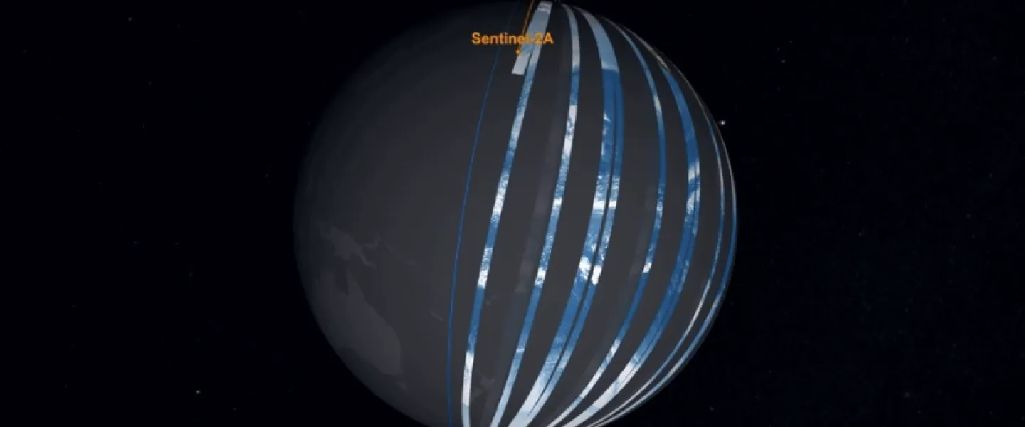
Remote sensing revolves around developing new methodologies that aim to exploit as much as possible the information contained in images from aeroplanes or satellites of the surface of the Earth. “The Prithvi-EO-2.0 model integrates global satellite data, enabling advanced Earth observation applications and significantly strengthening global geospatial analytic capabilities. By transforming raw satellite data into detailed views of our planet’s changing landscape, this foundation model helps address pressing environmental challenges by tracking land use changes, monitoring disasters, and predicting crop yields,” says Prof. Cavallaro.

The collaboration between the different teams behind the foundation model started when Prof. Cavallaro began cooperating with NASA several years ago through the IEEE Geoscience and Remote Sensing Society (GRSS). “I established a working group under the GRSS Earth Science Informatics (ESI) Technical Committee, led by Dr. Manil Maskey from NASA-IMPACT. This collaboration has resulted in several activities, including summer schools at the University of Iceland and tutorials at international conferences such as the IEEE International Geoscience and Remote Sensing Symposium (IGARSS),“ says Prof. Cavallaro. The IGARSS conference will be held in Iceland in 2027 (https://english.hi.is/news/global-vision-environmental-challenges-reykjavik-2027) but it is the largest conference in the world on technical remote sensing.

„Prithvi-EO-2.0 represents the major outcome of this cooperation, in which members of the lab, such as Þorsteinn Elí and Dr. Rocco Sedona, deputy Head of a Lab. at the Jülich Supercomputing Centre, were instrumental,” says Cavallaro about the collaboration. On the grounds of it, Þorsteinn Elí was given the opportunity to work on the model at NASA in the US (https://english.hi.is/news/computational-engineering-student-ui-works-nasa-develop-ai-model)

Important to advance open science

According to Prof. Cavallaro the Prithvi-EO-2.0 model significantly enhances our ability to analyse and map global satellite imagery across space and time. “This powerful tool provides robust solutions to pressing environmental challenges by supporting real-world applications in disaster response, land use and crop mapping, and ecosystem dynamics monitoring, such as rapidly tracking catastrophic flash floods, monitoring deforestation, and mapping urban heat islands,“ says Prof. Cavallaro, the latter referring to areas in cities that are significantly warmer than the surrounding rural areas.

""

Prof. Cavallaro also points out that through its versatility and ability to perform well even on high-resolution tasks, Prithvi helps subject matter experts and the wider community accelerate scientific understanding and respond quickly to complex changes on our planet.

Asked what the recognition from the AGU means to the team, he says the team is proud to have contributed to this important work, advancing open science and building tools that help us better understand our planet. It is deeply rewarding to see how these efforts have translated into real impact. “The numbers reflect broad adoption, but even more importantly, Prithvi has inspired the creation of more advanced foundation models, thus strengthening our ability to understand the planet, and catalysing a wave of new open science initiatives. Prithvi exemplifies how cross-institutional collaboration can drive effective open science,“ says Prof. Cavallaro.

The American Geophysical Union is an international organisation that promotes discovery and solutions for societal challenges within the Earth and space sciences. AGU aims to advance discovery and solutions in Earth and space sciences worldwide, through scholarly publishing, conferences and events and by supporting young scientists in these fields. The AGU´s Awards and Prizes will be awarded at the yearly AGU conference in New Orleans in December.

Share

Tags
Did this help?

Why wasn't this information helpful

Limit to 250 characters.