If you want to increase your chances of spotting your favourite waders, a new study could greatly help. Researchers have developed a suite of species distribution models that reveal how climatic and environmental factors shape where different waders are most likely to occur. However, these models are more than just scientific or birdwatching maps, they provide vital tools for conservation. By identifying areas that are suitable for multiple species, the study highlights hotspots where conservation actions could be most effective. This approach allows managers and policymakers to prioritise landscapes that deliver the greatest benefits for Iceland’s rich birdlife
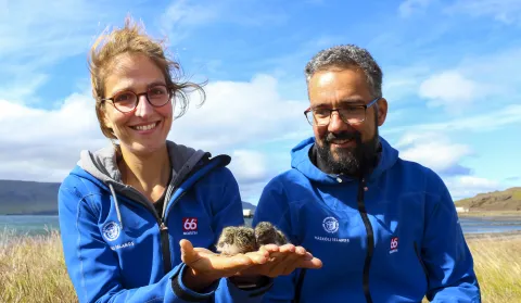
The research was carried out in collaboration between the University of Iceland’s research centre in South Iceland; the Icelandic Institute of Natural History; the Northeast Iceland Nature Research Centre; the Westfjords Nature Research Centre, and the East Iceland Nature Research Centre. The study, led by Verónica Méndez and Tómas Gunnarsson, was recently published in Wildlife Biology, a journal of the Nordic Society Oikos.
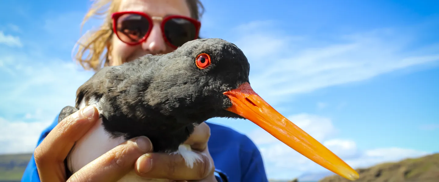
“Our aim was to understand how wader breeding distributions are influenced by environmental and climatic gradients,” explains Verónica, research specialist at the South Iceland Research centre, who has also studied the oystercatcher in recent years. “By combining detailed occurrence data with variables such as elevation, vegetation cover, slope, proximity to water, and precipitation, we were able to build probability maps for the entire country showing where different species are most likely to occur. Importantly, these maps also highlight areas where several species overlap, making them especially valuable for conservation planning. Because the likelihood of finding waders is closely linked to their density, the maps also provide a reliable picture of where waders are most abundant”.
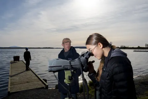
The resolution of the models is 300 x 300 metres, and their predictive value is generally good, according to Tómas Grétar Gunnarsson, director of the research centre. Waders are among the most common birds in Iceland during the summer. They are susceptible to habitat changes, and their behaviour provides clear indicators of various developments, such as climate change, pollution, and land use. While most people agree on waders' beauty and ecological importance, not everyone realises they are key predators of small animal populations in coastal and terrestrial environments, such as insects, worms, and crustaceans. At the same time, they are an essential food source for other animals, including falcons, merlins, skuas, foxes, and gulls.