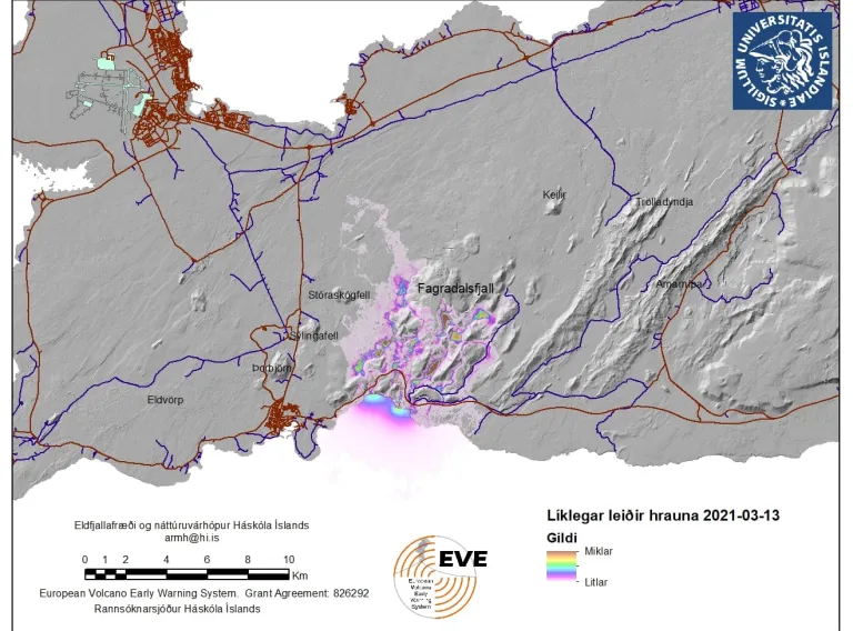
"This model is part of a larger international project called VolcanBox. VolcanBox is a powerful toolbox designed to analyse volcanic hazards and inform responses, whether that be long-term planning or the response to an imminent hazard."
Þorvaldur Þórðarson, professor of volcanology and petrology at the University of Iceland, here explains the simulation model that has become associated with the Volcanology and Natural Hazard Group at the University of Iceland. The model has attracted significant attention recently and Þorvaldur explains that it is the product of two European research projects funded by grants from the European Union, the University of Iceland Research Fund and Reykjavík Energy.
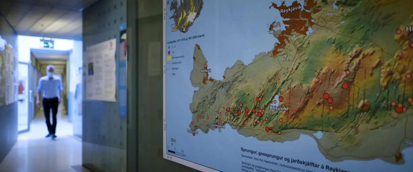
It has been used to simulate potential lava flows in the event of a volcanic eruption on Reykjanes peninsula, which has been a seismically active region for some time, and has seen constant earthquakes for the last three weeks. The most intense seismic activity has been between Keilir and Fagradalsfjall and, naturally, people are alarmed about earthquakes in this area. On Reykjanes peninsula there are many towns, harbours, industrial structures, popular tourist destinations and major roads, as well as the largest airport in the country that guarantees air traffic to and from Iceland. And the capital itself is not far away.
"The project behind the simulation model has been an international collaboration over the past six years between scientists and civil protection departments in the participating countries," says Ármann Höskuldsson, scientist and research professor at the UI Institute of Earth Sciences. Besides Ármann and Þorvaldur, the team behind the model includes Ingibjörg Jónsdóttir, senior lecturer in geography, William Michael Moreland, postdoctoral researcher at the University of Iceland, Muhamad Aufaristama, postdoctoral researcher at the University of Twente, the PhD students Catherine Gallagher and Helga Kristín Torfadóttir, and the former Master's student Þóra Björg Andrésdóttir.
Ármann and Þorvaldur explain that scientists from Spain, Italy, France and Portugal have also been involved in developing the model.
Long-term assessment and imminent hazards
"The model's analysis is based on the geology and volcanic history of the region we are researching, so that a long-term hazard assessment is generated from statistical data on specific locations," says Ármann.
Þorvaldur says that when there is an imminent hazard, as is now the case on Reykjanes peninsula, all new data which earth scientists believe is directly related to the current unrest is imported to the model. A short-term forecast is generated by calculating the most likely locations of a volcanic eruption, based on the long-term assessment in addition to current data from the hazard zone.
"This creates a new map which shows the likelihood of potential eruptions at specific locations, which we call eruption susceptibility. The purpose of this short-term forecast is to predict the most likely sites of an eruption and the most likely lava flows, if there is a volcanic eruption within the probable areas. It is important to have this information because it tells us which areas could potentially be at risk from lava flow in the event of an eruption, when the exact location of the eruption is unknown. The model also gives us an idea of the potential length of the lava flow."
