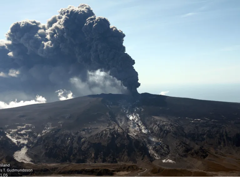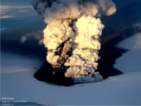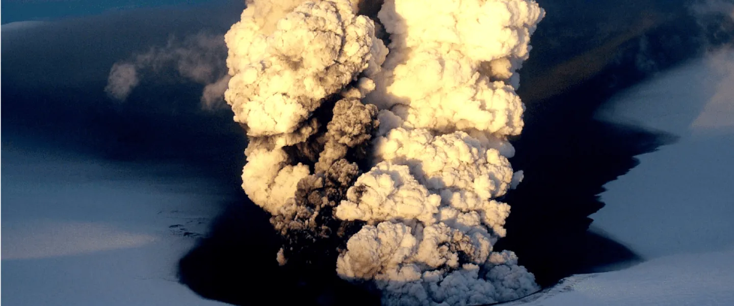
Volcanic eruptions not only shape the Icelandic landscape but also the nation’s collective memory. For over a century, photographers have captured these events – flowing lava in the dark, plumes of ash rising above glaciers, and new islands emerging from the sea. In some cases, people have even put their lives at risk when capturing history.
The Institute of Earth Sciences at the University of Iceland has now launched a new website where this visual history of volcanic eruptions in Iceland is summarised and made available to the public.
The website, which provides the public with clear, visual insight into the diverse volcanic activity in Iceland, is part of a larger infrastructure project that systematically registers, preserves, and makes research data on earth sciences accessible. Thus, the project supports both scientific endeavours, data collection and education, whilst also preserving a unique visual record about natural hazards that have shaped the landscape and the nation.
According to Magnús Tumi Guðmundsson, Professor of geophysics at the University of Iceland, the website has two main objectives: “There are short descriptions of volcanic eruptions in the last decades and a few photographs of each one. The aim of the website is to provide the public with insight into volcanic activity here in Iceland, since the first photos of these events were taken in the early 20th century.
Part of a Large Infrastructure Project
The website is part of a broader geoscientific research context in Iceland and is connected to an international infrastructure project, according to Magnús Tumi.
“This website is meant to be accessible to everyone while also serving as a gateway to a website within EPOS Iceland. That’s an infrastructure project led by the Icelandic Meteorological Office and funded by The Icelandic Centre for Research’s (RANNÍS) Infrastructure Fund. EPOS stands for the European Plate Observing System, a large infrastructure project in Europe of which EPOS Iceland is part. The Icelandic component focuses on collecting, systematically cataloguing, and making accessible the various research data related to geosciences in Iceland,” Magnús Tumi says.
Further information on EPOS Iceland can be found here, and the project was included in the first four-year phase of the Icelandic Roadmap for Research Infrastructures 2021. The project was also included in the Roadmap’s next phase and will therefore be continued from 2025 to 2028.
In addition to the Icelandic Meteorological Office, the Institute of Earth Sciences at the University of Iceland, Iceland GeoSurvey (ÍSOR), and the Natural Science Institute of Iceland are members of EPOS Iceland. One of the projects the Institute of Earth Sciences has undertaken is to systematically collect a representative selection of existing photographs of volcanic eruptions here in Iceland.