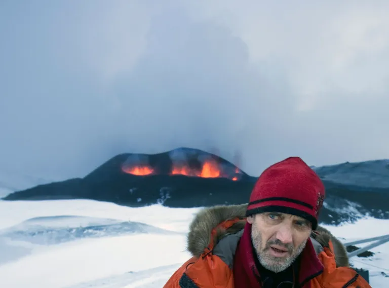
Ármann Höskuldsson is among the best known earth scientists in Iceland and often acts as a media spokesman in the event of a volcanic eruption or earthquake. Earthquakes are a serious phenomenon and so it is important to monitor the situation continuously. They are not only dangerous in and of themselves, but sometimes signal an imminent volcanic eruption.
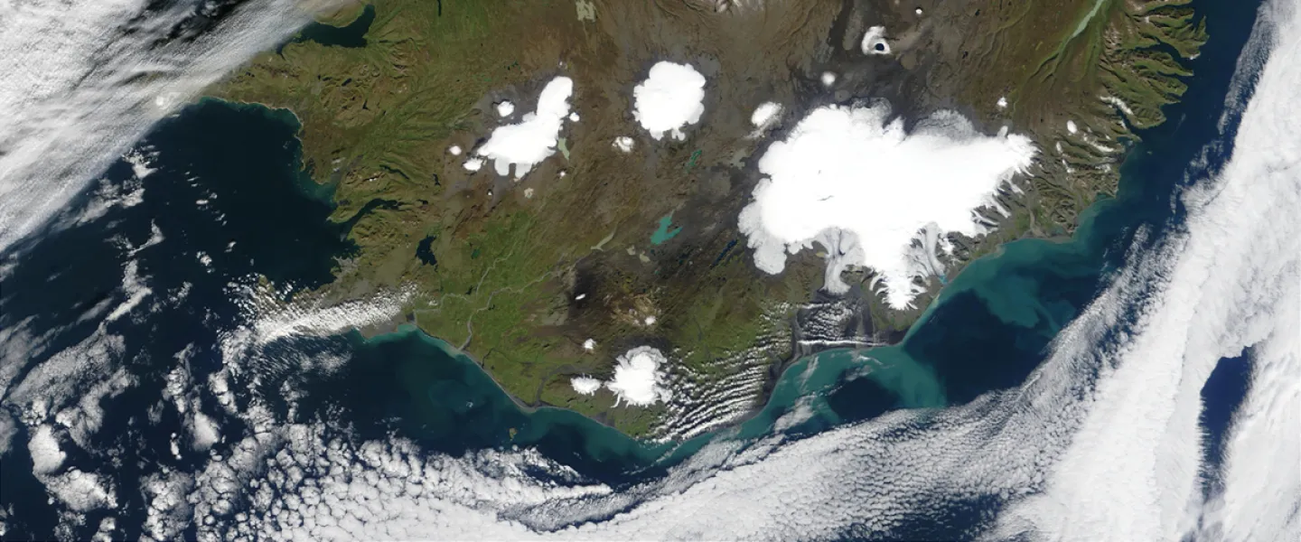
In recent months, seismic activity on the Reykjanes peninsula has been more significant than normal and few places in Iceland have been monitored so closely. The most dramatic seismic activity has been taking place around the mountain Þorbjörn, near Grindavík. Naturally, people are alarmed by earthquakes in this area. Almost right at the foot of the mountain are towns, harbours, industrial structures and major roads, as well as the largest airport in the country that guarantees air traffic to and from Iceland.
The goal of monitoring on the Reykjanes peninsula and in other places is to measure movement at fault lines and plate boundaries, which does not necessarily have to be related to volcanic activity. These measurements also evaluate the accumulation of magma inside volcanoes. There are a lot of volcanoes on the Reykjanes peninsula, although most of them have been inactive for the last century – there are lava fields on the peninsula, though, dating from eruptions shortly after the settlement.
Mapping hazards on the Reykjanes peninsula
Ármann, who is a scientist and research professor at the University of Iceland, is now part of a team researching the risk from earthquakes on the Reykjanes peninsula, not least where signs of magma accumulation have been detected. Earth scientists have various weapons in their arsenal to measure and evaluate such things. For example, they look at seismographs, which we often hear mentioned on the news, tectonic deformations such as uplift, and also volcanic gases which can indicate an influx of magma into the Earth's crust. There are all kinds of equipment for these purposes, but recently scientists have been using remote sensing and measuring changes and uplift with satellites.
Something else which is completely new is the method of using a range of data to create simulation models, which are then supplied with the data from continuous monitoring as well as numbers taken from geochronological research. Ármann Höskuldsson and his research team thereby take an IT-based approach, where fragmentary data is further developed into comprehensive and reliable predictions.
"We use methods that let us statistically analyse an event based on geological data," says Ármann. "This enables us to determine the most likely site of a volcanic eruption. Using that data, we then use simulation models to evaluate where the volcanic materials are most likely to go from future fissures. Then we can identify the areas of Reykjanes most at risk."
Incredibly important research
There is no doubt that this is incredibly important research, because if the team manages to map high risk areas, it is more likely that it will be possible to save structures and guarantee the safety of people and livestock. The results could also give an idea of where to build new structures and which areas to avoid.
"The findings of this project were used to identify the most hazardous areas this winter when the earthquakes started near Grindavík," says Ármann, adding that the results were promising and demonstrate the usefulness of the methodology. "After the initial evaluation, the existing information is used alongside new data in order to determine the areas where lava is most likely to emerge, for example."
Ármann likes it on the Reykjanes peninsula, reporting that are ready subjects for research and that it isn't far for scientists to travel from Reykjavík in order to localise and clarify technical issues. "Reykjanes is also the most densely populated volcanic region in Iceland."
Ármann says that his team's methodology is not at all specific to Reykjanes, because similar technology is used in the Westman Islands, the site of the 1973 eruption, the only eruption to take place in an Icelandic town.
The inspiration behind the research dates back a decade when work began evaluating volcanic hazards in the Hengill area. "But the wheels really starting turning," says Ármann, "with the European projects Vetools in 2013 and EVE three years later. Then the methodology became clearer and the computers powerful enough to resolve the issues."