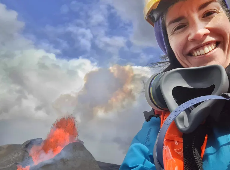
When the volcanic eruption at Fagradalsfjall on the Reykjanes peninsula began just over a year ago, people naturally starting thinking about the risk of the lava reaching nearby towns and infrastructure, which would have caused significant damage and had a serious impact on human lives and the economy. Various action was taken in an attempt to direct the lava flow along a certain path, preventing it from flowing across the road Suðurstrandarvegur. This action was based in part on lava flow models developed by scientists at the University of Iceland in collaboration with colleagues at the Icelandic Meteorological Office and around the world.
Coordinating this work developing better lava flow models is Gro Birkefeldt Møller Pedersen, a research specialist at the University of Iceland Institute of Earth Sciences. Her research career has focused on using remote sensing data to gain a better understanding of how lava behaves, making it possible to respond faster and more effectively to the hazards of an effusive eruption. Remote sensing involves taking digital images, often from a great height – from a plane or a satellite – and processing them ways that yield a wealth of information about environmental changes on Earth.
From Mars to Iceland
Gro was born in Denmark and completed a PhD in earth sciences from Aarhus University in 2011. Her doctoral thesis focused on landforms in the Elysium volcanic province on Mars. "My research interests are about using remote sensing data to find out more about the patterns of volcanic landscapes in order to understand what information we can extract regarding eruption dynamics and landscape evolution. The end goal is to use this information to forecast the future development of the landscape, for example the pathways of future lava flows," she explains.
"Overall my research concentrates on understanding volcanic landscapes, their formation, evolution and degradation. This ranges from investigating landscapes dominated by ice-volcano interactions on Mars to studying individual lava fields in Iceland. My aim is to better understand geological history and eruption dynamics, but also to more accurately forecast future hazards. My current project focuses in on how we can improve monitoring and forecasting of lava fields," adds Gro.
The goal is to forecast hazards more efficiently
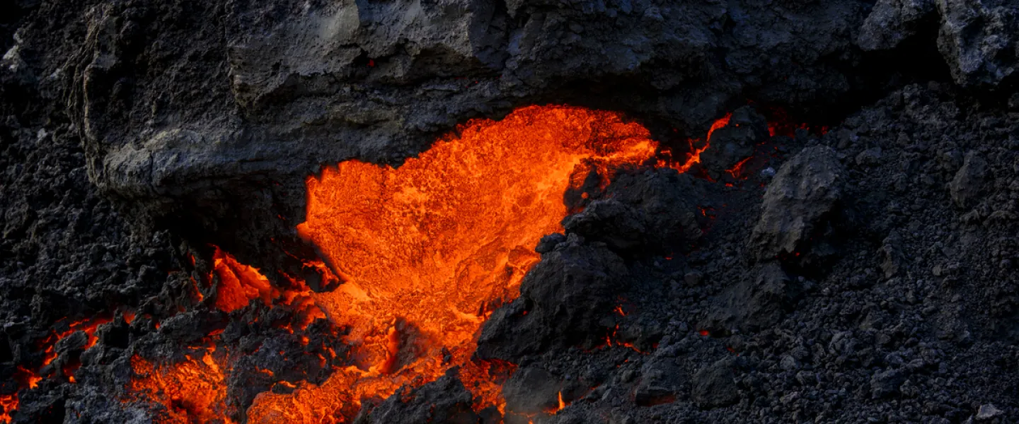
Many populated areas are exposed to the threat of lava flows, which have caused casualties and considerable economic damage worldwide, Gro explains, giving examples of eruptions such as Kilauea in Hawaii, Etna in Sicily, Nyiragongo in the Democratic Republic of the Congo, Fogo in Cape Verde and of course Heimaey.
"Up to this point, forecasting of lava flow hazards has been only moderately successful. This is partly due to our incomplete understanding of how to simulate lava flows, and partly because of time-consuming monitoring techniques that hinder fast implementation of observations into hazard models at volcano observatories. I want to improve our success in this area," says Gro, who has also worked as a researcher in Denmark and Hawaii, but has been employed at the University of Iceland since finishing her PhD.