Status and access of airborne, satellite and drone imagery of Iceland

Will be on Zoom
Center for Remote Sensing at the University of Iceland invites you to its first open lecture.
The lecture is titled: Status and access of airborne, satellite and drone imagery of Iceland
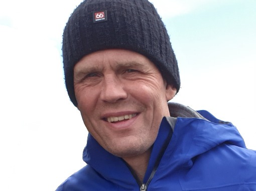
Speaker: Gunnar Haukur Kristinsson, Director of the National Land Survey of Iceland.
The lecture will be on Zoom
Abstract:
The archive of aerial photographs from Loftmyndir ehf is now accessible to state institutions, including the University of Iceland, as part of a new agreement between the National Land Survey of Iceland and Loftmyndir ehf. These data are available through Web Map Service (WMS) and include, among others, yearly orthomosaics since 1996 to present, and a single and updated country-wide orthomosaic. In addition to that, this lecture aims to show the current status of the mapping efforts and imagery available in Iceland from multiple platforms and multiple scales: drone, airborne and satellite imagery. This talk will introduce these data sets, license terms and how to connect to them.
The lecture will be in English on Zoom and everyone are welcome
Gunnar Haukur Kristinsson, Director of the National Land Survey of Iceland.


