Mapping SDG indicators data – challenges and pitfalls

Askja
N-132
The School of Engineering & Natural Sciences and the Department in Geography & Tourism Studies invite you to an open lecture.
Title: Mapping SDG indicators data – challenges and pitfalls
Lecturer: Dr. Menno-Jan Kraak, Professor in Geovisual Analytics and Cartography at the Faculty of Geoinformation Sciences and Earth Observation at the University of Twente.
Time and Date: Tuesday September 18th in Askja room N-132
______________________
______________________
About the Lecture:
In many (online) publications maps and diagrams are used to understand and monitor data related to the SDGs. They can be used by authorities to act, or by the public to force authorities to act.
Without awareness of the design guidelines and skills to use the software (defaults) properly, as well as an understanding of the strengths and weaknesses of available graphic representations, errors are easily made. Flawed and misleading designs can be the result.
The indicators themselves have different characteristics. They can be a percentage, a ratio, a change rate, an index, an average, or an absolute number. Indicators are collected for administrative units like countries, provinces, or even neighborhoods. This is partly done to be able to compare among regions. However, administrative units are of different sizes and the phenomena for which indicator data are collected, such as population, are almost never homogeneously distributed over the units, nor within a unit.
For the map maker it is important to be aware of these potential problems. In this contribution we will not only point to these pitfalls, errors and challenges, showing examples of do’s and don’ts, but also discuss the design space of alternative visualizations for the same data, focusing on the choices for the base map, the data handling, and different visual encodings.
The lecture will be held in English and Everybody are welcome to attend.
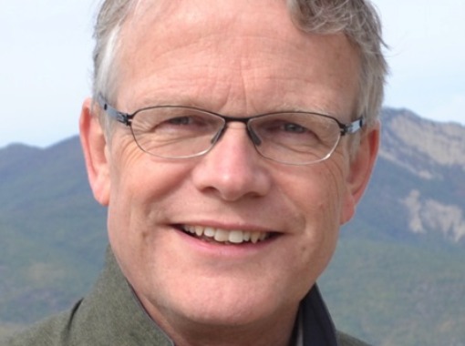
Menno-Jan Kraak Menno-Jan Kraak is professor of Geovisual Analytics and Cartography at the University of Twente / ITC. Currently he is head of ITC’s Geo-Information Processing Department. He is also President of the International Cartographic Association (ICA) for the period 2015-2019. He wrote more than 200 publications, among them the books ‘Cartography, visualization of geospatial data’ (with Ormeling), and 'Mapping time’. He is a member of the editorial board of several international journals in the field of Cartography and GIScience.